Hi, I'm Jessica Sena

Computer Engineer + Postgraduate in UX Design.
Web developer.
Mobile developer.
GIS developer.

MY BACKGROUND

My profile image

Since 2013 I have been part of Geostart, the innovation group of the Institut Cartogràfic i Geològic de Catalunya.

My work there includes the development of prototypes and the research of new technologies, as well as the design and development of web applications (front-end and back-end).
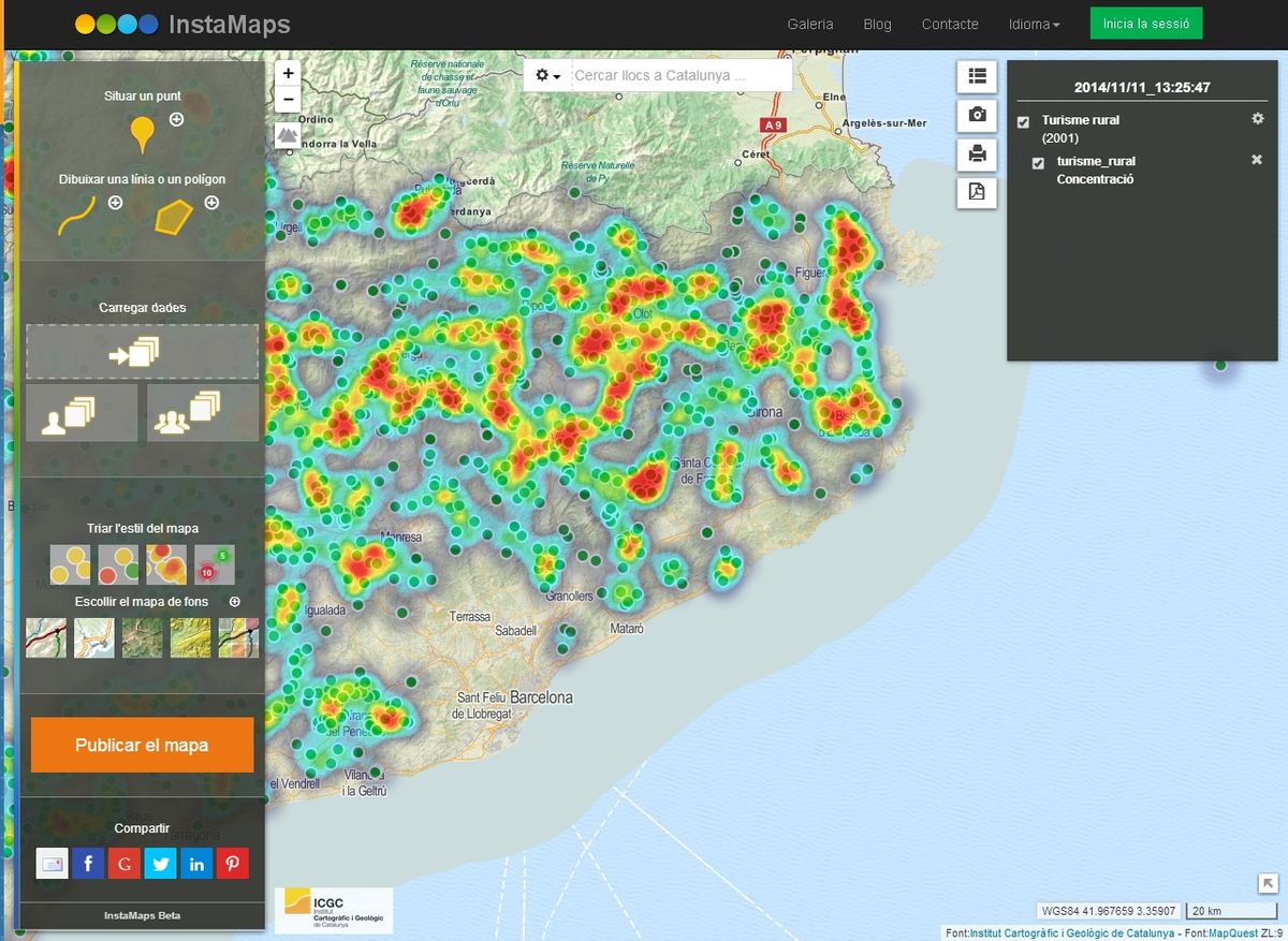
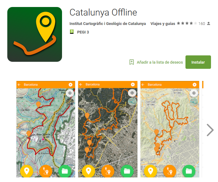
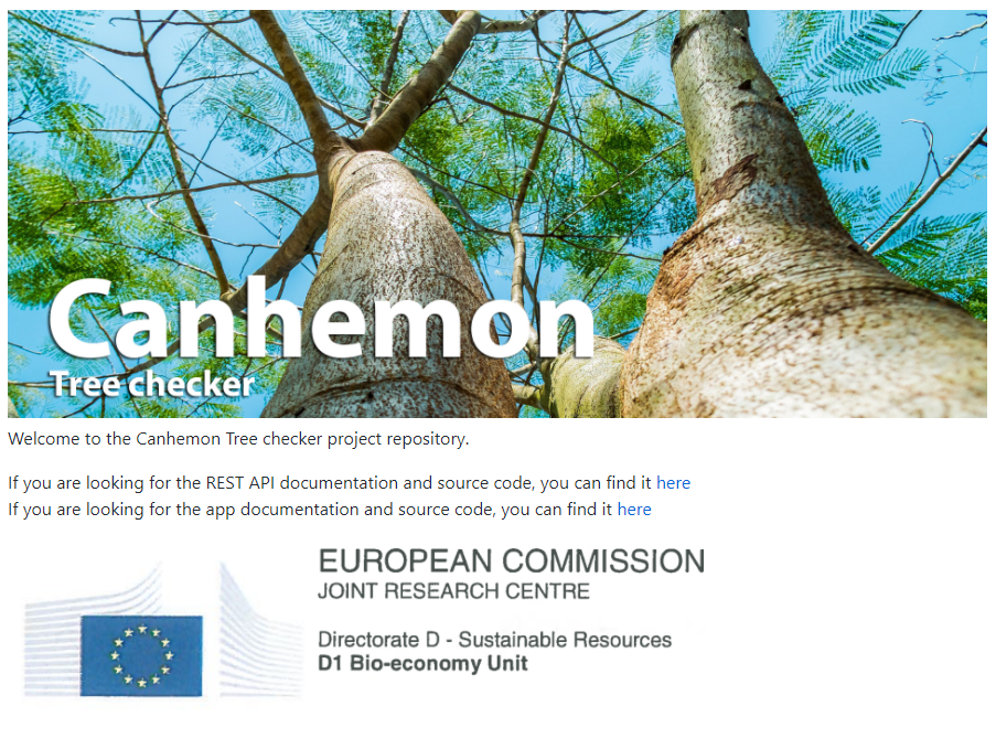
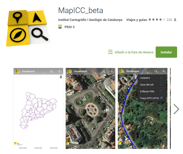
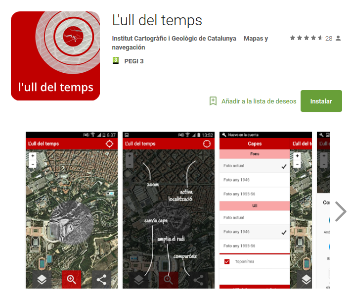
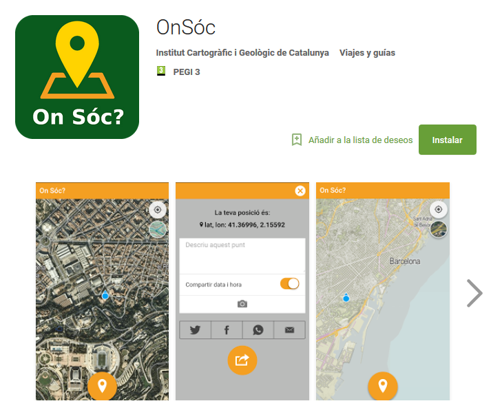
*Some exemples of our work at BETAPORTAL.

More recently I have been mainly focused on the mobile development, being in charge of several application development projects.

In addition, as part of Geostart I have acquired a wide knowledge of geotechnologies, working as a GIS developer

Last year I finished a postgraduate course in UX Design, aiming to expand my overall vision of the whole development process of a technological product, and complementing my knowledge as a developer, giving it an extra value to the work I do in the projects in which I participate

This background gives me a very versatile profile and the ability to deal with many different technologies.

EXAMPLES OF MY WORK

InstaMaps

Card image cap

I’ve worked widely as a front-end and back-en developer in the project InstaMaps.cat, an online web platform to create maps with your own data.

Right now, the platform has about 9,000 users that have created more than 35,000 maps.

Based in the following technologies:

  • FRONT-END: Javascript + JQuery + Bootstrap and Leaflet.js.
  • BACK-END: Java + Struts + Hibernate and a PostGIS Database

See Instamaps in action >

Catalunya Offline

Card image cap

I’ve fully developed Catalunya Offline, an hybrid mobile app available for Android and IOS, that allows people download the Catalan cartography in their devices and use it in offline mode. Some of the functionalities are: locate you on the map, save waypoints and tracks and add pictures and data to them, load files with external geographical data, and connect all this information with the Instamaps.cat platform.

Catalunya Offline has been developed with the Ionic Framework (and so, Cordova + Angular).

Initially it used Leaflet.js + AngularLeaflet for the map functionalities, but now, it’s been refactorized to use MapboxGL.js + WebGL technology, to take advantage of the Vector Tiles system.

For this purpose, I have developed some interesting new features for the library, in order to make possible to use it in an offline mode: basically, I have added a new VectorTileOffline source and a new RasterOffline source too. Take a look HERE.

Read more >

Canhemon

MapICC Image

I've worked in the Canhemon Tree Checker project, for the Joint Research Centre (European Comission).

I fully developed the Canhemon mobile application. The main goal of the app is to allow users to collect information about trees directly on the territory, to be stored in a central database. The application also works completely offline, downloading previously the geographical area where the users will work, and synchronizing the data automatically with the server when it detects internet connection.

Canhemon App has been developed with React Native + Redux, and it uses Leaflet.js for the map functionalities.

The full source code of the app is HERE.

Read more >

MapICC

MapICC Image

I've fully developed MapICC, an app to visualize and interact with the Catalan cartography in online and offline mode. MapICC has some simple but nice functionalities like locate you on the map, load your own track files, or find places in the map.

MapICC it's been developed as a pure Android native application.

Read more >

Ull del temps

MapICC Image

I've also worked developing Ull del temps, an app based in a previous desktop app, L'Ull del temps, that let the users see how are and how were the places where they are, and others.

Is an Hybrid app, available for Android and IOS, based in the Ionic framework + Leaflet.js

Read more >

OnSóc

MapICC Image

I've developed OnSóc, a simple app that let the users share their position with other people, in a very easy way, throw social networks and others.

Is an Hybrid app, available for Android and IOS, based in the Ionic framework + Leaflet.js

Read more >

MY SKILLS

Very comfortable developing JavaScript large applications and good knowledge about HTML5 and CSS3/SASS.

Wide experience developing hybrid apps. Until now I’ve been working mainly with the Ionic Framework, but recently I've just finished my first app developed completely with React Native.

Good knowledge about the geo scope: I know OpenLayers and I've worked extensively with Leaflet.js. More recently I’ve started to work with the MapboxGL framework too. In fact, I’ve just developed some interesting new features for this library to make possible using it in an offline mode (as I have explained HERE).

Not afraid about learning and discover new frameworks and technologies. Moreover, I really enjoy doing it! That’s why I always try to make my best to improve my skills, assisting as many conferences/meetings related with technology as I can, as well as doing courses and reading books and articles.


Some of my latest courses:


The Complete React Native and Redux Course by Stephen Grider.

Advanced JavaScript by Asim Hussain.

Accelerated ES6 JavaScript Training by Maximilian Schwarzmüller.

The Complete React Web App Developer Course by Andrew Mead.

Automate Web Development With Gulp JS by Andrew Mead.

Learn and Understand AngularJS by Anthony Alicea.

RoadMap: what's next?


Become a React-Native "master". I'll start by doing this course: React Native: Advanced Concepts by Stephen Grider.

Improve my programming methodology reading the already "classical" book Clean Code: A Handbook of Agile Software Craftsmanship (Robert C. Martin)

To Level Up and become a better front-end developer (in all possible ways), following this awesome 120 days programme, by Léna Faure.